Original entry from April 9, 2019

I can see how folks end up injured when they push themselves to go harder than they should. The third day out on the trail I was trying to get in enough miles which would make it possible for me to get into town the following day. Ensign Cowell shelter was about five or so miles ahead of where I should have really camped. However, my supplies were running low and I knew I needed to get into town to resupply.

The push to this shelter had me going through increasingly more rocky terrain, then through areas where the high winds were making the trees creak, just the sort of sound you’d hear from an old rocking chair or from someone walking across an old wooden walkway.
It’s interesting to experience the more popular areas of the trail - areas where hiker numbers start swelling up. Annapolis Rocks was one of these spots. It looked like even some overnight backpackers, maybe on spring break, we’re headed up there.
This vista was great but not spectacular, and I kind of regretted taking time out to go see it. That’s a sort of hard decision to make at all of these junctures. After following white blazes for so long, you come to a fork in the trail and blue blazes lead you off to the side - to some point of interest or other. I have been a bit hesitant, but have simply taken off my pack at these junctures and set it on the ground while a more nimble me goes to scout out the location. In the case of Annapolis Rocks it was a downhill trail, maybe 0.3 miles or so down to see an ok view. Then a trudge back uphill. Doh!
All of these side trips add up, so I know my actual amount of walking will definitely be than the “official” AT mileage. So best to minimize these sorts of trips. But I don’t want to miss anything!


I made it to Ensign Cowell shelter in the evening and assumed the shelter was already occupied, so I was busy looking for a safe sleeping pad to tent up at. However, with the strong winds and the amount of suspicious dead limbs hanging above all tent pad sites, I decided to finally bite the bullet and go for the shelter. No one was there at the moment, and I tried to convince myself to deal with the fact that folks might likely arrive later. But they didn’t.
I setup my air mattress directly on the floor of the shelter, then put my quilt on top of that. Nice not having to setup and tear down a tent!
The winds eventually subsided a bit, and the surrounding grew darker and darker. The “missing” third wall of the shelter gave me this great perspective over the landscape in front of me, with my bear bag hanging prominently on the bear pole in the foreground.
The night was chillier than I expected. I pretty much tried to use the quilt as a sleeping bag, so I buckled up all the pieces I needed to. But it was drafty unfortunately. I am still not entirely sure what I did wrong, but I made sure in any case to note that sleeping in a shelter would be colder than in my tent.


My memories one year later
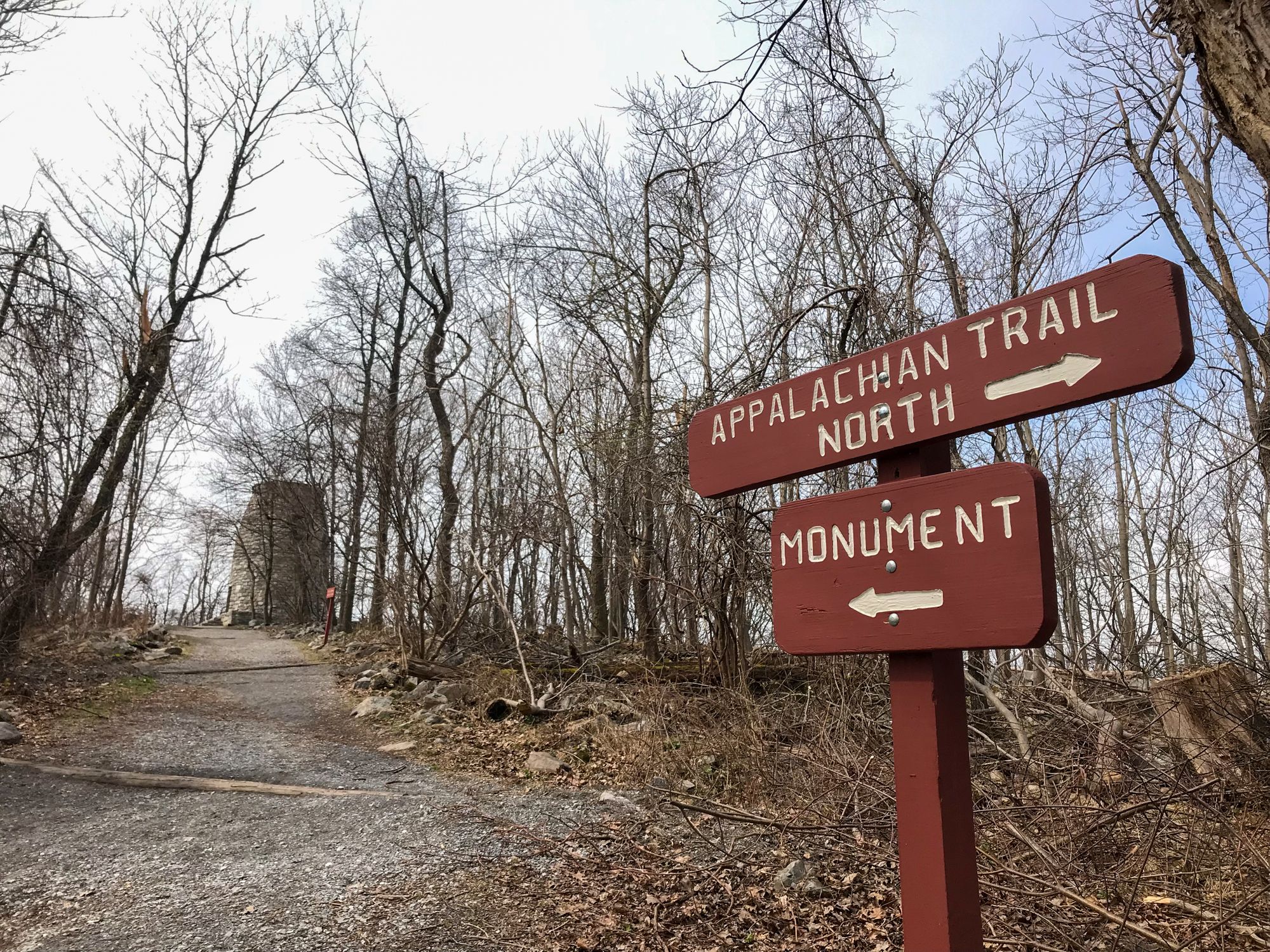
I remember a big group of schoolkids passing my by at the Washington Memorial State park, some eyeing me suspiciously like I was a homeless man or something. I went up to the viewpoint but I didn’t go up the tower. I think I was too lazy to take off my backpack…
The shelter was memorable for being empty of people, but very cold, which I don’t quite remember except through my entry above. I do remember an errie feeling of being able to see over a wide landscape, and there was some errie presence in the air, like a bear was lurking somewhere. But it was just my imagination. But just to be sure, I flashed my flashlight out into the night a few times, if only to be sure my food bag was still hanging from the food pole.
Incidentally, Maryland is the only state I hiked that had this type of bear pole. After this it was bear boxes and quite a lot of practice hanging from trees…
Comments